Discover how our powerful, customisable and sophisticated system eclipses its competitors.
Mobile data collection projects, form building and stunning maps with NO CODE REQUIRED.
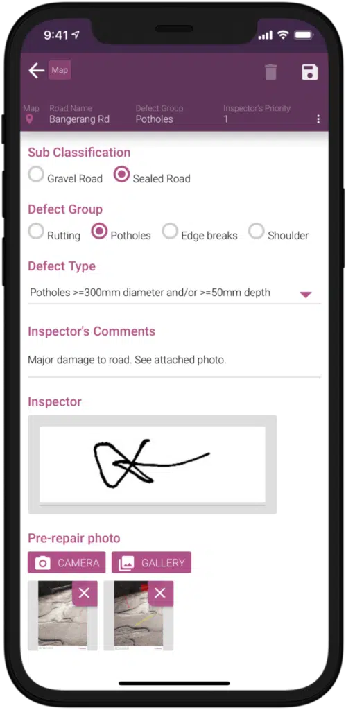
Incorporates conditional logic for tailored visibility, supports complex hierarchical choice-lists, and allows easy import and deployment of these lists.
Enables field photo capture, document viewing and storage, barcode scanning for immediate data input, and features unlimited storage for photos and documents (subject to fair use).
Offers automatic geo-tagging capabilities using points, lines, or polygons to enrich forms with precise location data.
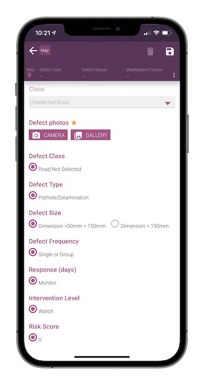
Creates unique IDs and user-friendly tags to maintain relevance and organisation in data collection.
Features Excel-like expressions, functions, and formulas for field updates, eliminating the need for manual calculations and enhancing efficiency.
Allows for easy introduction of location-based data and duplication of existing nearby data, along with comprehending complex geographic attributes like line lengths, point coordinates, and area measurements.
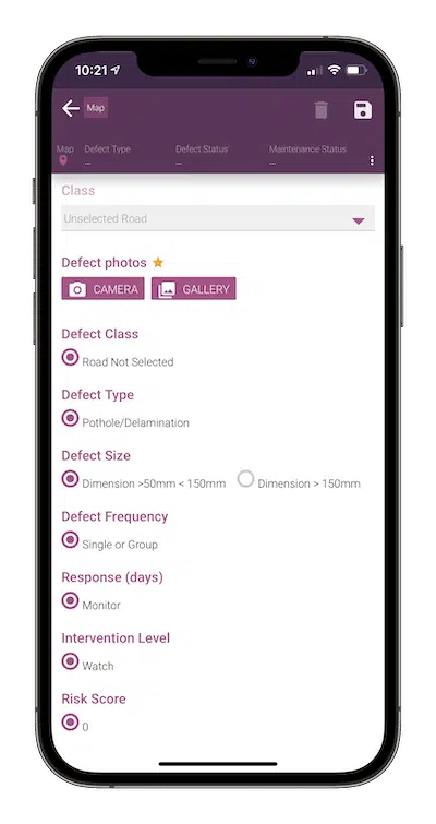
Allows for the establishment of specific roles like inspector, auditor, and supervisor, tailored to different job requirements.
Implements permissions like read-only, create, edit, and delete, enhancing accountability and minimising errors.
Ensures appropriate data access by showing or hiding fields based on user roles and allows management of map styles to reflect varying job statuses.
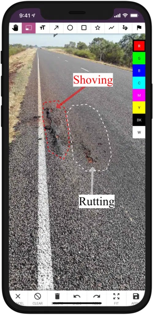
Enhances photos with the addition of lines, circles, squares, arrows, polygons, and free-hand sketches, transforming them into detailed references.
Offers the capability to include transparent objects, multiple colors, and various sizes of text and symbols, providing greater flexibility and detail in photo annotations.
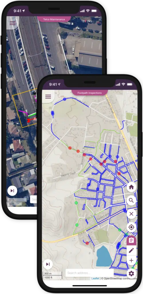
Offers comprehensive global coverage using satellite or spaceborne photography for a broad perspective.
Utilises OpenStreetMap for detailed terrestrial mapping, providing a grounded, detailed view of streets and terrains.
Allows users to create their own offline base maps using the MBTiles file format for enhanced flexibility and accessibility in various environments.
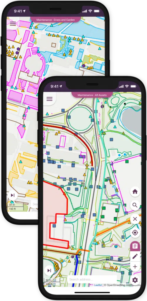
Enables precise marking of specific objects or infrastructure locations.
Utilises lines to represent roads, paths, and tracks, highlighting connections and routes.
Creates polygons to define areas, boundaries, and perimeters, with options for customising symbols, colors, sizes, line types, and thickness for clarity and distinction.
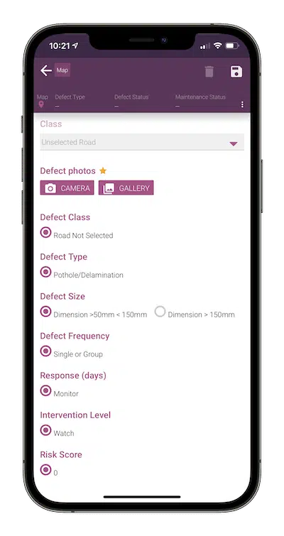
Enables automatic adjustment of interconnected elements like power poles and powerlines, ensuring that changes in one element reflect in related features.
Allows changes in one area, such as a paddock boundary, to automatically influence adjacent areas, maintaining data accuracy and consistency.
Facilitates the automatic repositioning of associated assets on the map when datasets are modified, enhancing the accuracy and efficiency of data representation.
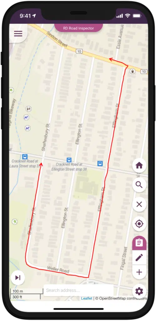
Utilises GPS to automatically draw lines and record new features as you move, whether walking, driving, or riding.
Features a 'proof of service' function that records the path of journeys in the background, streamlining audit processes and providing verifiable records of movement.
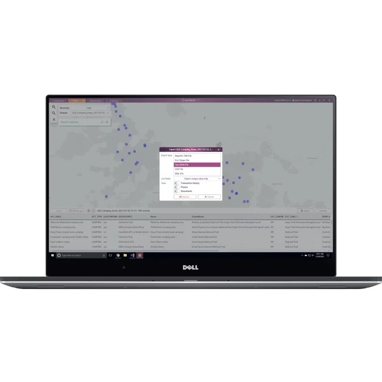
Saves time by allowing bulk import and export of documents, photos, and choice-lists.
Accommodates various spatial dataset formats like CSV, GeoJSON, Esri Shapefile SHP, MapInfo TAB, and KML, ensuring compatibility and ease of data handling.
Enhances business-to-business operations with the Konect Package KPK file format, facilitating seamless data connectivity and exchange between partners.
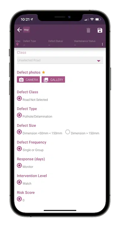
Implements live queries that update maps visually in real-time as data changes, ensuring current and relevant visual representations.
Enables filtering of map objects based on the user's role, keeping data presentation simple and to the point.
Allows users to align queries with their chosen map styles, enhancing the workflow and map customisation.
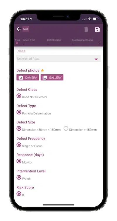
Captures all changes including usernames, dates, and times, ensuring a complete and reliable record of all modifications.
Uses filtered queries to quickly identify specific records, facilitating rapid fact-checking and information verification.
Allows easy export of audit data for thorough analysis and investigation, improving the auditing process.
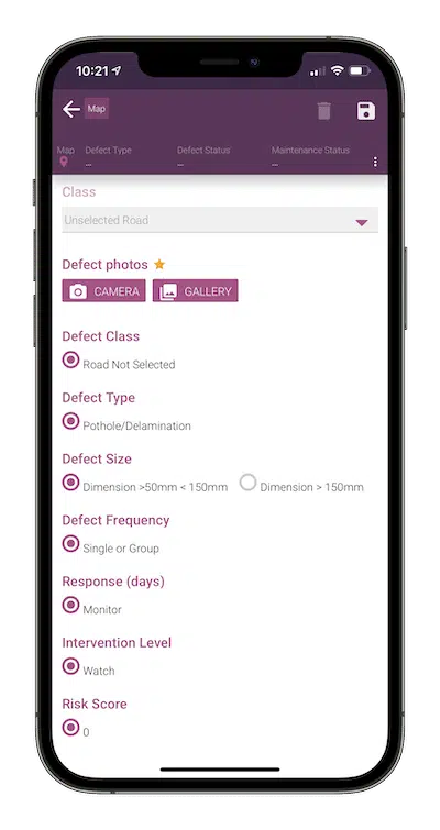
Ensures seamless data sync when transitioning from offline to online, keeping data updated without manual intervention.
Provides offline base maps to aid navigation and location tracking in areas without internet connectivity, ensuring continuous operation.
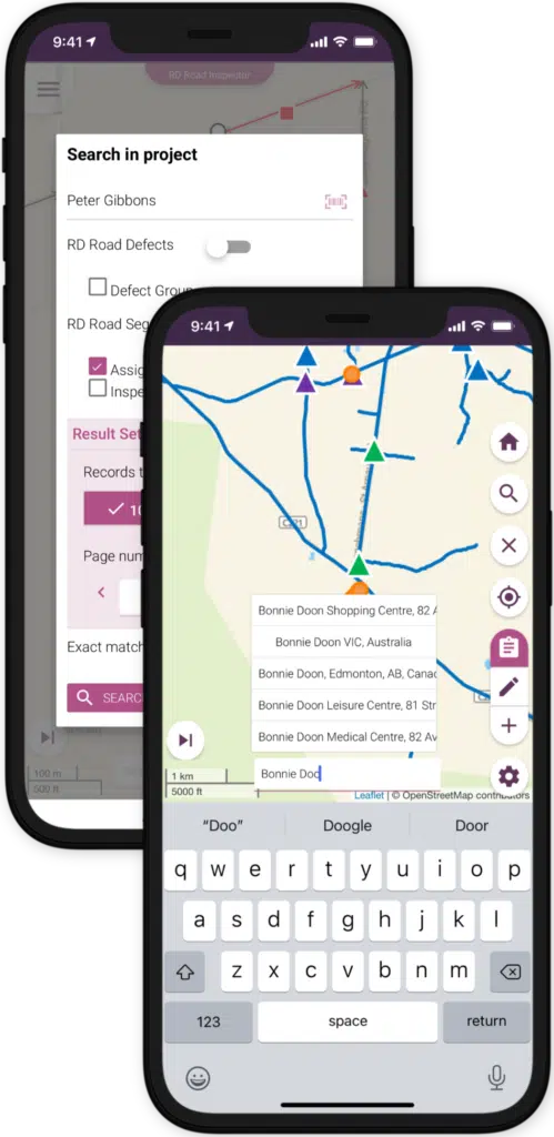
Allows users to tailor searches by designating specific fields as 'searchable,' enhancing the relevance of search results.
Enables the use of a camera to scan barcodes, simplifying the search process by populating search text automatically.
Incorporates geocoding to quickly find and provide directions to specific addresses or locations on the map.
Konect is a versatile mobile data collection and mapping application designed to simplify field data gathering and analysis. It’s beneficial for various industries due to its no-code requirement for form building, data collection, and mapping, enhancing efficiency and reducing the technical burden.
Konect is designed with a user-friendly interface, making it accessible for non-technical staff. Features like drag-and-drop form building and intuitive mapping require minimal training.
Konect can import and export in all common GIS formats – Esri SHP, MapInfo TAB, Google KML Tab and GeoJSON, GeoPackage and CSV. Simply select the data format you require and Konect automatically handles the translation.
Yes, Konect functions offline, allowing data collection and modification in remote areas. It syncs data automatically once an online connection is reestablished.
Konect ensures data security through encrypted data transmission, secure storage, and compliance with privacy standards, safeguarding sensitive information.
Konect provides comprehensive customer support and training resources, including a knowledge base, help center, and responsive customer service team.