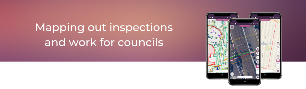
In this edition of Konected the spotlight is on Local Government and how our Konect app is helping councils to inspect and manage a wide array of assets including trees, footpaths, potholes, street lights, parks, rubbish and recycling services.
When it comes to servicing roads, rates and rubbish, Konect helps councils, their employees and contractors access all the data, maps and details they need, wherever they are. We’ve been working with the local government sector providing maps and GPS linked mobile devices for 20 years.
Maps are especially important as most local government assets are located on public lands in the space between land parcels and therefore cannot be described by a typical street address. They can also work over large geographical areas, often outside the range of wireless data services.
You may be surprised by how local government departments around the nation are using the app. From protecting residents in urban forests and ensuring swimming pools are safe to road and footpath management, you can find some examples of how Konect is working for councils on our new Local Government page.