Bruce Douglas, Director of Corporate GIS recently undertook a review of Konect, the powerful, customisable and sophisticated system that represents 30 years of knowledge, experience and insight in the collection and management of spatially located data. The app was developed by Global GBM, an Australian software company based in Brisbane, Queensland.
But what exactly are the key features of Konect and how is it revolutionising field inspections, data collection and workflow synchronisation?
Well, for starters mobile apps on smart phones and tablets offer maximum flexibility at a lower per unit cost. This BYOD (Bring Your Own Device) technology allows users to work online or offline, with full cloud synchronisation, allowing fluid movement between locations regardless of network coverage.
It’s a game changer, as Ausmec Geoscience Principal and Konect customer, Rod Dawney explained, “When I discovered that it had the offline feature, we just bought it. Any functionality I want can be set up. I don’t need phone coverage. I collect the data I want, all customised for my system.”

Konect is a fully functional mobile GIS; an installed application, not a lightweight web product, offering a management framework for numerous data collectors to work on different projects.
With a solid workflow at its heart, it filters and queries multiple data entries using a multitude of variants and styles, allowing users of the same dataset to make it job specific. This powerful capability is unique to Konect, whereas other mobile apps are generally built for one function only and require data to be reloaded for subsequent applications. Rod said, “I’ve tried other data collection systems and, in my experience only Konect is made to collect data in a high scientific, ordered, flexible fashion, by people who have collected field data themselves.”
Easily map your project
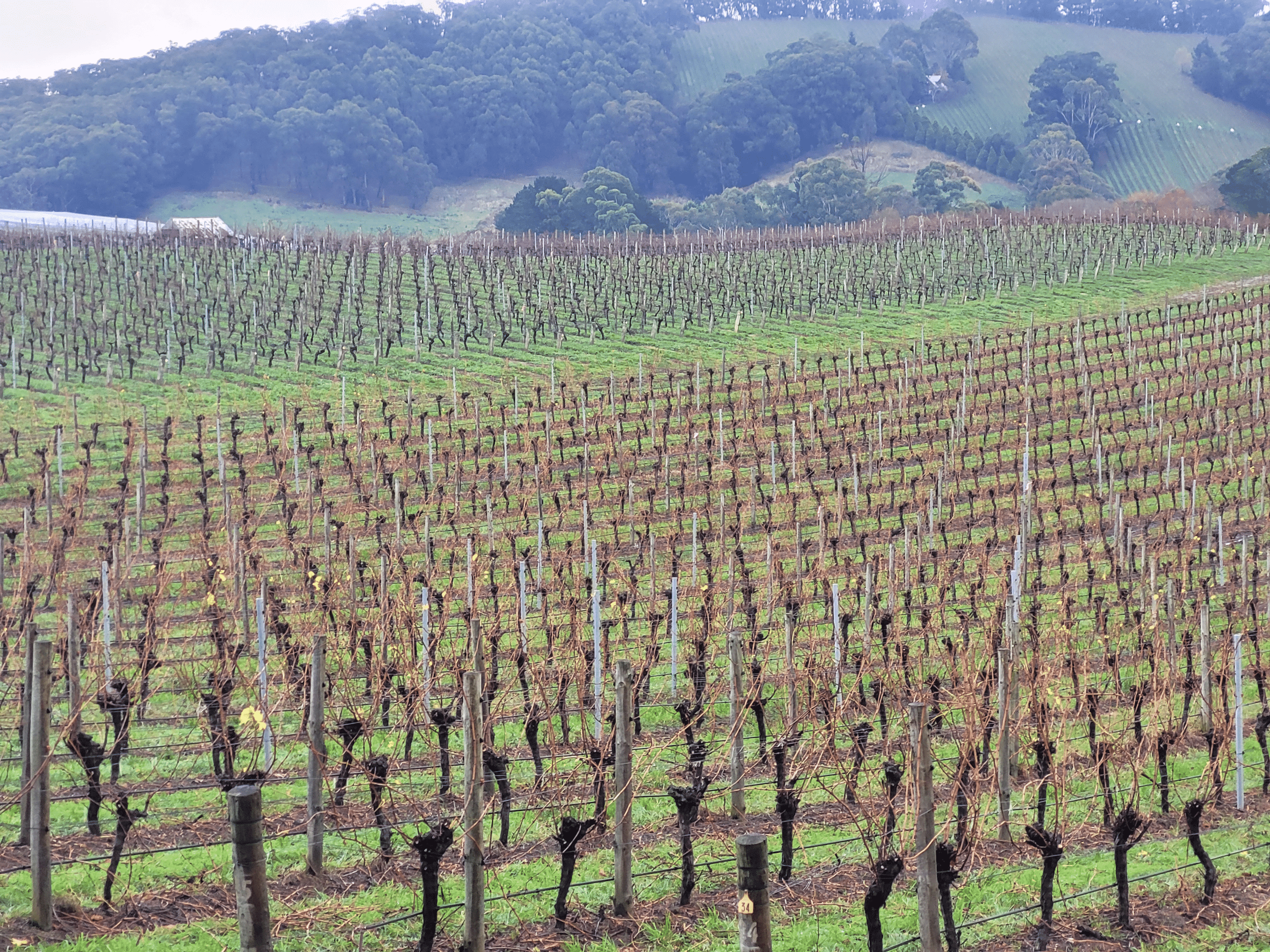
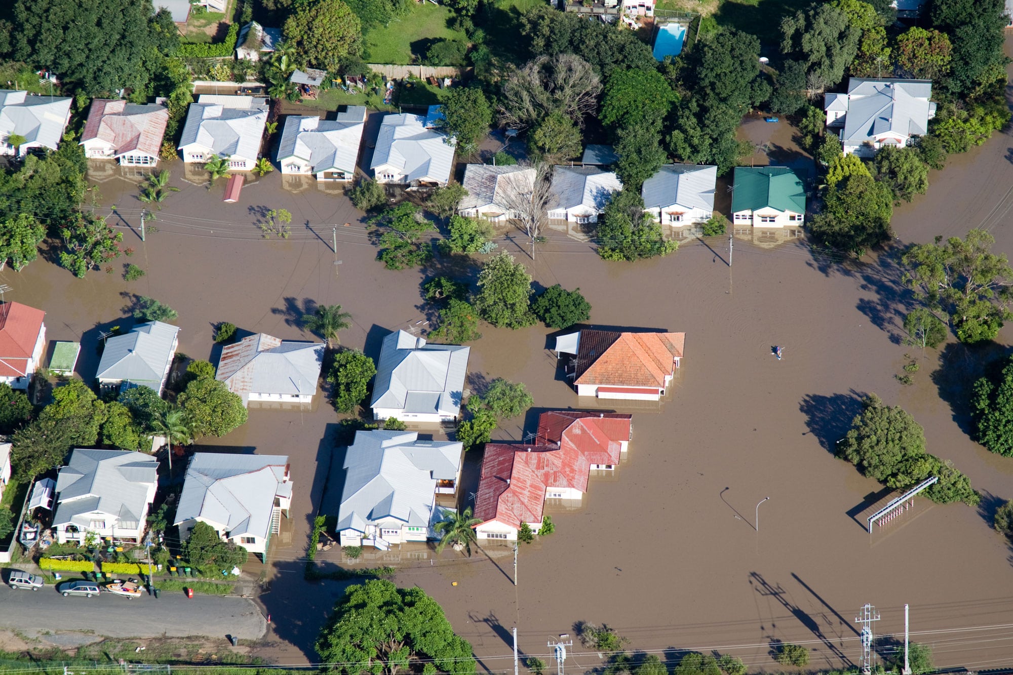
Konect is built on points, lines and polygons. Maps are, by definition, full of topographical and geographical detail and Konect allows you to collect, record and inspect any type of data, in any terrain. This, coupled with a very powerful reference layer feature, means that forms can be pre-populated with data on arrival at site, based on the GPS location which will provide huge on-site time savings. You get real-time forms to maps, and maps to forms. This sort of connectivity allows the collected data to be used in a map-rich environment. For example, it could show weed mapping extents, contamination areas and how those relate to property boundaries and locations of interest, all with photographs and other field observations directly connected to each map feature.
Barry Sullivan, Director of Lagom Agriculture Pty Ltd and more recently co-founder and CTO of AgKonect Pty. Ltd. said, “I’ve seen hundreds of thousands of dollars spent on things that have delivered very little. When it comes to cost-effectiveness, Konect is a very superior product.”
Konect works on your device
Konect’s ability to work in an Apple or Android app environment, as well as offline, is a refreshing change from other mobile applications. It can be deployed to maximum numbers of staff on their own smart phones and tablets while still retaining overall project management and control.
A common complaint with some mobility products is that they are either a component of (and therefore require purchase of) a much larger GIS environment, or they require purpose-built applications at some considerable cost and effort to build, deploy and maintain. Konect on the other hand is very cost effective. Users don’t have to purchase full-suite GIS platforms to get a mobile capability. If the data is required on other common GIS products, it can be easily exported in many compatible formats. It also does not charge for data storage, so collecting large image sets does not result in huge monthly charges.
Easily scaleable
Konect is suitable for one or 1,000 field workers: Inspectors, auditors, managers, engineers, contractors et al, can all work on the same project at the same time without worrying that data isn’t being overwritten or scrambled by multiple teams working in close proximity. All of this of course, results in more usable data, better resource management, higher team usage and less downtime. These are all the ingredients of improving efficiency and being more cost-effective.
In a recent interview, AgKonect CEO, Dr. Pete Whittle said, “New clients say, ‘We have tried pre-packaged products, but they can’t be customised. They do lots of things, but not the things we need.’ By contrast, Konect can be configured to deliver exactly what each of our customers want.”
Konect has successfully packaged the right combination of features in a system that is easily accessible to field crews. As Barry Sullivan explained, “I’ve never had an operator who hasn’t been able to capture good data from day one. Konect’s ease of use, even for older operatives who may not be so tech-savvy is exceptional.”
Konect does exactly what you need it to do.